
A map of the Thames Tour of Rotherhithe.
The start point is Redriff Road Bridge, close to Canada Water tube.
.JPG) | |
| This large red lifting bridge was built in 1949 as a temporary measure to span nearby Deptford Creek. It was moved here 10 years later to replace the much older swing bridge. |
.JPG)
.JPG)
It was used as a shelter for ships ready to unload their goods at the nearby legal quays.
It was also twice the current size and one of the largest in the world.
It was later renamed Greenland Dock in recognition of the whaling trade during the 18th Century.
Many ships sailed from London to Greenland hunting whales for blubber and whalebone.
The blubber was rendered down to produce oil for lamps, to lubricate machinery and even for use in soap.
The bones were used in umbrellas and corsets. Boilers, tanks and whaling fleets would have been the busy scene along the dock where you stand today.
In the early 1900s Greenland Dock was expanded by engineer Sir James Walker, who also built Tower Bridge.
.JPG) | |||||||||||||
| James walker 1781 - 1862 , Engineer Greenland Dock. Surrey Commercial Docks, London SE16 |
 |
| On the left side of the dock a pub named the Moby Dick, for obvious reasons. |
In 1806 the dock was sold to William Richie, a Greenwich timber merchant and founder of the Surrey Commercial Dock Company.
Timber, or deal, dominated Greenland Dock for over 100 years with huge warehouses and timber ponds.
The timber was imported from Scandinavian and Baltic countries and was unloaded by London's famous Deal Porters - athletic men who unloaded, carried and stacked the timber.
Bombing during WW2 devastated the docks but they did revive until the timber trade ceased and the docks closed in 1970.
A majority of the warehouses were demolished and rebuilt in the late 1980s as part of the LDDC plans. It is now mostly residential.

.JPG) |
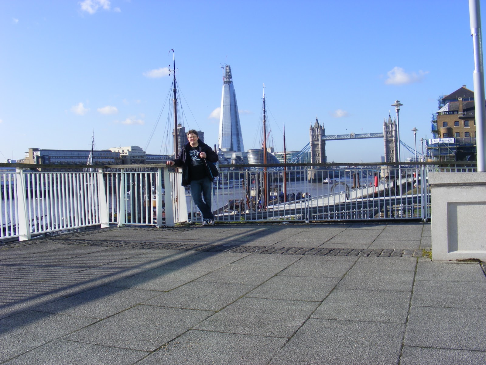
| Thames Path with views across to Canary Wharf |
.JPG)
.JPG) | |
| Randall's Rents |
.JPG)
.JPG)
I now come up to Nelsons Dock. Nelson Dock is the only dry dock left in London and was known as Cuckolds Point in the 17th and 18th century's.
.JPG) |
| Nelson House. |

This Grade II* building is now in use as offices and not open to the public.
The buildings you see today are the surviving sheds of Mill's and Knight ship repairers who were based at Nelson Dock from 1886 until the docks closed.

.JPG)

.JPG)
.JPG) | |
| Old Salt Quay PH Rothehithe |
.JPG)
I now re join Rotherhithe Street where it meets Railway Avenue.This is the location of The Brunel Museum on the site of the worlds first underwater tunnel on a navigatable river.
.JPG) | |
| Brunel Museum |
.JPG) | |
| You forget how busy The Thames used to !! |
 | |
| What a great idea, BEER to keep employees strength up! Why don't they do this anymore?? |
 |
| Image of the tunnel. |

.JPG)
In 1825 work began to build the first ever tunnel under the Thames linking Rotherhithe in South London and Wapping in East London.
Designed by Sir Marc Brunel and assisted by his son Isambard the pedestrian tunnel took 18 years to complete and was finally finished in 1843. This was the only project they worked on together.
It was the beginning of the amazing career of Isambard Kingdom Brunel.
Before construction could begin a huge shaft was built at ground level representing the depth of the tunnel work.
Earth was removed from the shaft foundations allowing it to gradually sink down in order for the tunnel to be at the right depth.
Next to the shaft, an engine house was also built to contain the steam engines used to drain water from the tunnel.
The unique shield tunnelling method used by Brunel was the first of its kind during the construction and the concept is still used today.After 26 years as a foot tunnel it was converted into a railway tunnel to create the East London Railway in 1869.
In 1914 the tunnel became part of the London Underground, and in 2010 transferred to the East London Railway, part of the London Overground which runs from Croydon to Dalston Kingsland.
It is the oldest tunnel in the oldest underground system in the world.
With the extension of the East London line the tunnel will remain in use for many more years to come.
I continued along Rotherhithe Street to the Mayflower PH,the site where the Mayflower left for America with the Pilgrim Fathers.

This statue 'Sunshine Weekly and the Pilgrim’s Pocket' depicts a 17th century pilgrim and a boy.
The Mayflower pub stands on the site of The Shippe pub that dates back to around 1550.
It is close to where the Mayflower ship was fitted out for the long transatlantic voyage.
The pub was rebuilt as the Spread Eagle and Crown in 1780 and renamed as The Mayflower in 1957.
It was the nearby landing steps to this pub that the Pilgrim Fathers set sail aboard The Mayflower Ship.
.JPG)
The Pilgrims were mostly a group of separatists who had broken away from the Church of England.
They decided to opt for a new life after hearing tales of earlier settlers to the New World.
The Pilgrims sailed to Southampton on 5th August 1620 where it was joined by the Speedwell.
This ship proved to be un-seaworthy forcing them to turn back twice before The Mayflower took on some of her passengers.
She finally set sail from Plymouth, south west England on 6 September 1620 with 102 passengers aboard.
Two months later they arrived along the east coast of America and landed in Plymouth Bay, Massachusetts, on 21st December.
They were the first permanent European settlers in America.
Just down the road is St Marys Church.
St Mary's Church dates back to the 12th century and was rebuilt by local shipbuilders in the Georgian era.
The nautical connections of the area are reflected in the construction of the church.
The barrel roof was made to look like an up turned ship and the supporting pillars are complete tree trunks encased in plaster.
The communion table and two chairs are made from wood from the 98-gun ship the Temeraire, second in command at the Battle of Trafalgar.The graveyard holds some interesting stories.
.JPG)
A statue by Jamie Sargeant for Christopher Jones was unveiled on July 2nd 1995 and paid for by The Sons and Daughters of the Pilgrims.
You will also find the tomb of Prince Lee Boo.
In September 1782 three Rotherhithe men sailed to China aboard the East India Company's ship the Antelope.
It took Captain Wilson and his men nine months to reach China before returning a different route north east of the Philippines.
They passed a group of unknown islands, later called the Palau Islands, where they were shipwrecked after a storm.
They took refuge on the Island of Ulong and a friendly relationship was born with the chief, Abba Thulle.
Food was given to the English sailors and local trees were used to build a new boat to get them to China.
The King watched as the ship was built using grindstones, anvils and other tools.
Abba Thulle was so impressed by the skills he had witnessed, he hoped that his second son, Lee Boo, would learn what they knew.
Three months later the English set sail with Prince Lee Boo onboard.
Eighteen days later they reached China before the long voyage back to England.
The ship, Morse, arrived back in England on 14 July 1784 where Lee Boo was taken to the home of Captain Wilson in Paradise Row, Rotherhithe.
He settled in London where he attended church services, school, learned the language and dressed as an Englishman.
In mid-December, only months after arriving in London, Lee Boo contracted smallpox.
He died on 27 December and lies buried to the left of the church entrance.
.JPG)
.JPG) |
| St Marys Free School |
You will notice the two statues of schoolchildren wearing uniform from the 18th century.
The school was founded in the 1600s by Peter Hills and Robert Bell, two Elizabethan seafarers, to teach the sons of local seafarers.
They funded the school with the sum of £3 per annum and a brass plaque and other objects can be found in the church.
The original school was founded in 1613 and later moved in 1797 to the building you see today.
It is thought to be the oldest elementary school in London.
.JPG) |
| The Watch House. |
This was used by the local watchman or constable to watch out for wrongdoers, particularly body-snatchers raiding graves.
Watchmen wearing white overcoats and carrying lanterns were meant to be seen and heard, they called the time and weather.
Watchmen wearing blue were 'silent' and checked dark corners of the local area.
This watch house consisted of 1 beadle, 1 constable and 14 watchmen.
Bodysnatching was common in this area as surgeons at the local Guy's hospital required fresh corpses and body parts for medical research.
his practice was common around London and 'Resurrection Men' would take bodies from graves and disguise them as merchandise.
Legally, only bodies of convicted criminals could be taken.
In 1832, The Anatomy Act was passed, making it an offence to rob a grave.
It was only legal to dissect the unclaimed bodies of people who had died in hospitals or poor houses.
I now joined the Thames Path again for views across the river to The Captain Kidd PH and Wapping.
Tea, coffee, sugar, rum, spices, silks, furs and tobacco were just some of the cargoes brought into Wapping during the 18th and 19th Centuries.Pirates and thieves also flourished. Pirates would ambush ships coming into the area and also steal outgoing cargoes.
Across the river you can see the Captain Kidd pub, named after the famous pirate executed at Execution Dock in 1701.
Execution Dock was located by the Thames near to this pub and dealt with convicted pirates for over 400 years.
Pirates who operated on the seas and abroad would also be tried back in London.
The gallows were located by the Thames so that the tide could wash over the body three times.
More notorious pirates, including Kidd, were left to hang in a gibbet, a type of metal cage, to deter other would be criminals.
.JPG)
.JPG)
.JPG)
.JPG)
.JPG)
You can also see the headquarters of The Marine Support Unit (MSU), at Wapping Police Station on the River Thames (cream and white building) founded in 1798.
I now walked back to Rotherhithe Station and got the Overground train ( first time on the overground for me, which indecently went underground for the one stop I needed to get over the river to Wapping).
I walked through Wapping to the Captain Kidd PH (A Samuel Smith Brewery Pub).
.JPG) |
| Captain Kidd PH |
.JPG)

.JPG) | |
| View to St Marys Church |
.JPG)
I then walked along the Thames towards Tower Bridge.


.JPG)
.JPG)
.JPG)
I then walked out into St Katherine Docks, where they had stall with food from around the world.
.JPG) |
| Dickens Inn ,St Katherine's Dock |
.JPG)
I then made my way towards Liverpool Street Station ,past the Tower of London and through Petticoat Market. Boarded the train back home to Romford.A total of 7 miles for the day.
.JPG)
.JPG)
.JPG)


You cannot possibly know how wonderful this was to view! I can only imagine what it looked like in the 1500's when my ancestors lived there. Many thanks to you from across the pond for this incredible gift.
ReplyDeleteThank you for your kind comment,glad you enjoyed it.
ReplyDeletethank you,this was really informative and I'm glad I've seen it
ReplyDeleteHaving cycled this route recently it was so interesting to learn the history of the area and retrace our route. Thank you for such an informative website and sharing your travels which will inspire many to visit a forgotten corner of London.
ReplyDeleteThank you all for your kind comments,glad you all got something from my blog,There really is more to London than the Tourist traps!
ReplyDelete